
Point Lobos has been described as the "greatest meeting of land and water in the world".
Point Lobos is 7-miles south of Monterey on Highway 1, past the storybook village of Carmel.
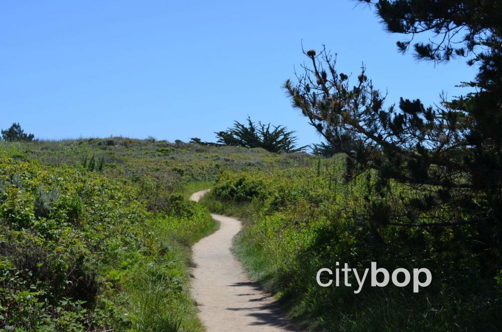
It's famous for it's rocky headlands, enchanting coves, meadows, and cyprus groves, with a network of stunning coastal trails.
A day use fee is required to visit Point Lobos, and no camping is allowed.
5 best things to do at Point Lobos
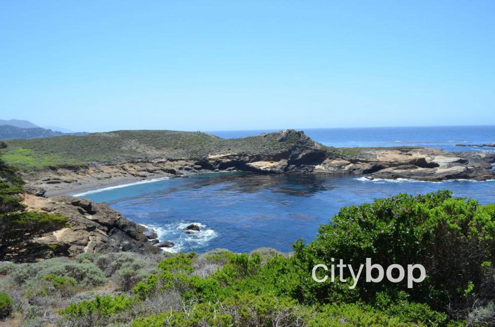
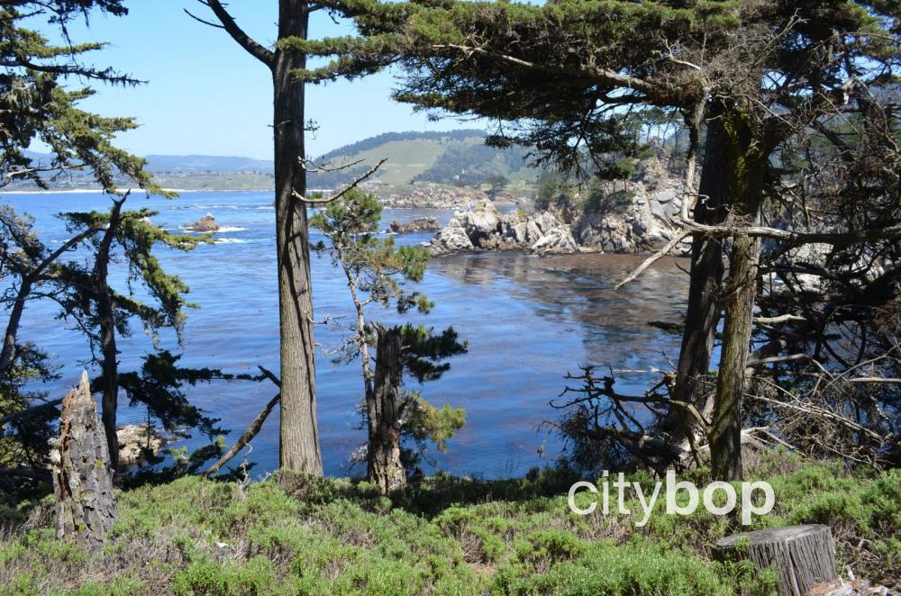
1. Beautiful coves along the South Shore Trail (0.7 miles one way).
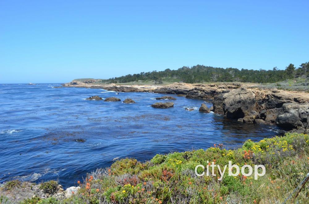
Explore breathtaking coves along the South Shore Trail with brilliant, jade waters, and dramatic sandstone formations.
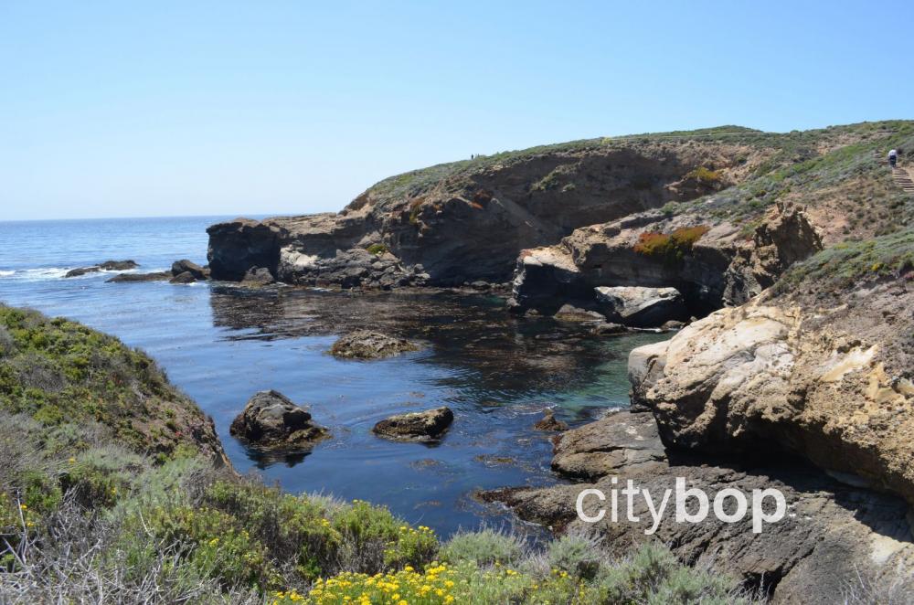
The trail pass The Gap, Sand Hill Cove, The Slot, Weston Beach, and Hidden Cove.
The trail passes The Slot, a narrow inlet.
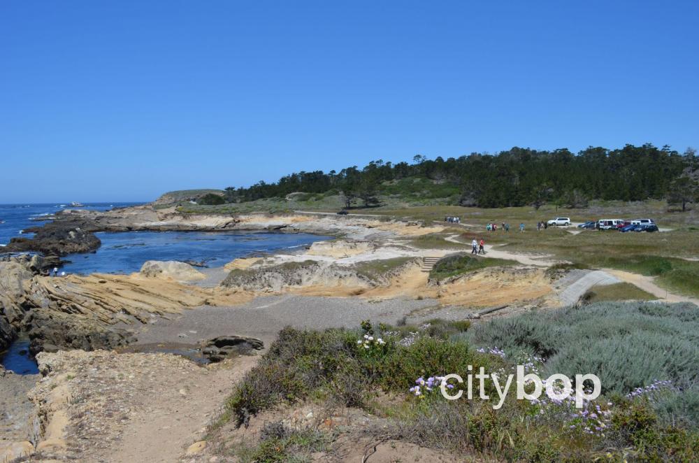
Enjoy expansive views of Sand Hill Cove. There are parking pull-outs along the way, with a few spaces.
Walk south around an enchanting, gravel cove.

The dirt paths hug the cliffs, giving you a close-up view.
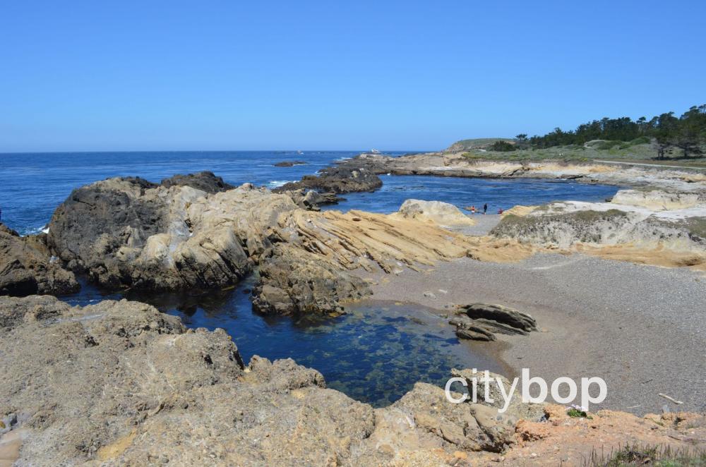
The waters are choked with seaweed.

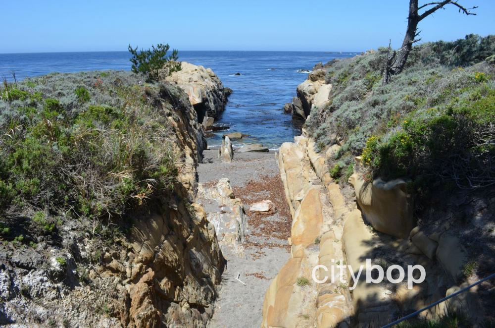
Weston Beach comes into view.
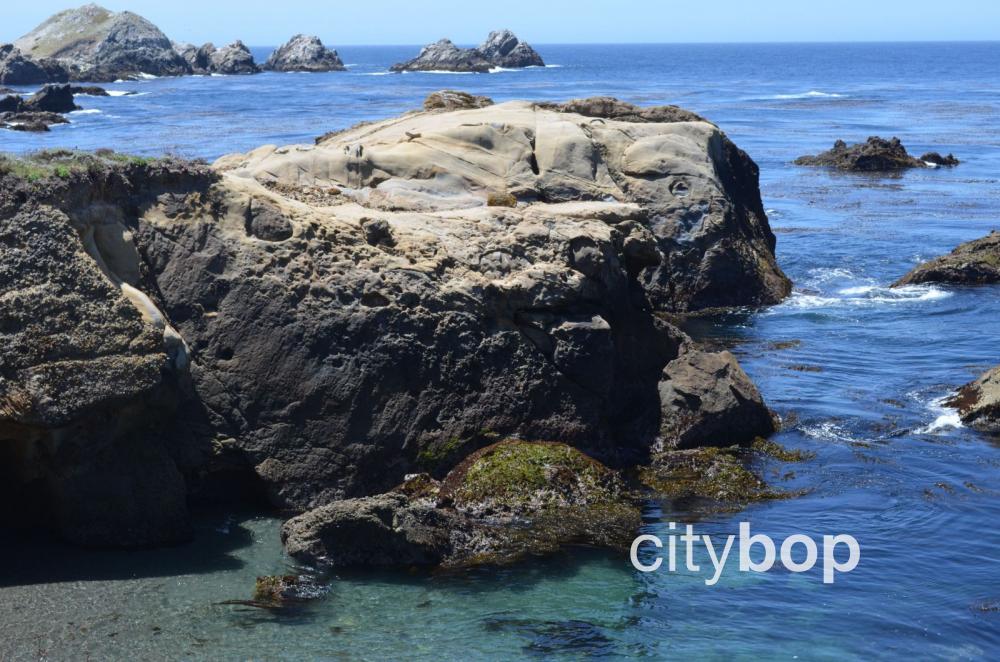
Observe the dramatic, sandstone formations, carved out over thousands of years.
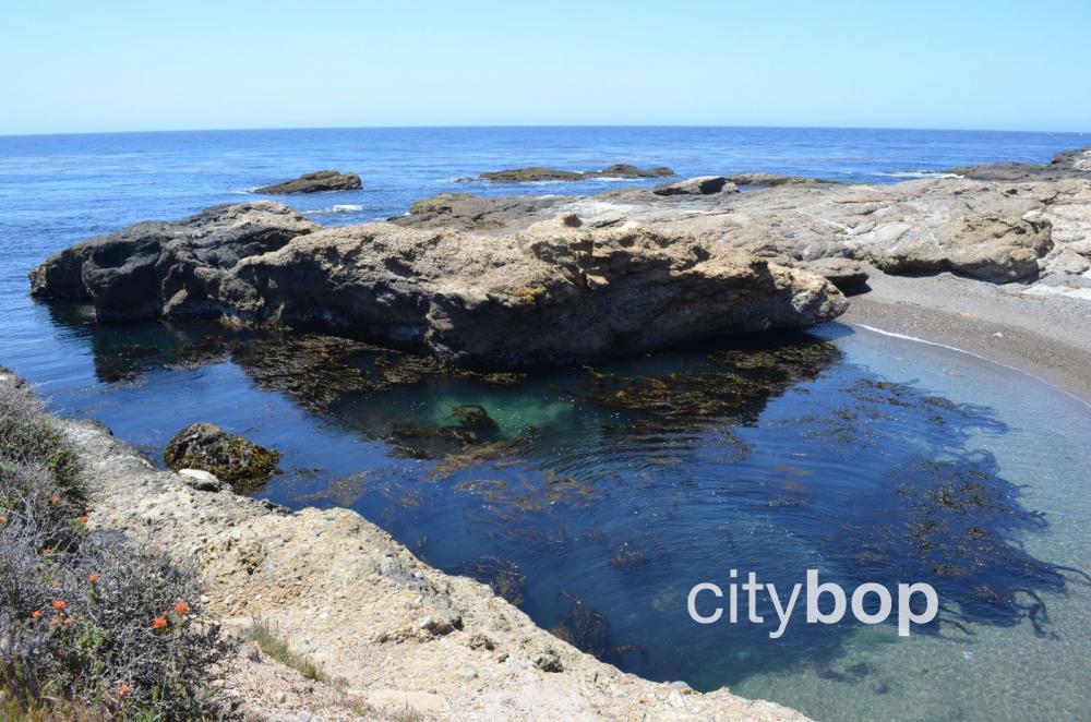
Another perspective of Weston Beach, not accessible from the clifftop.
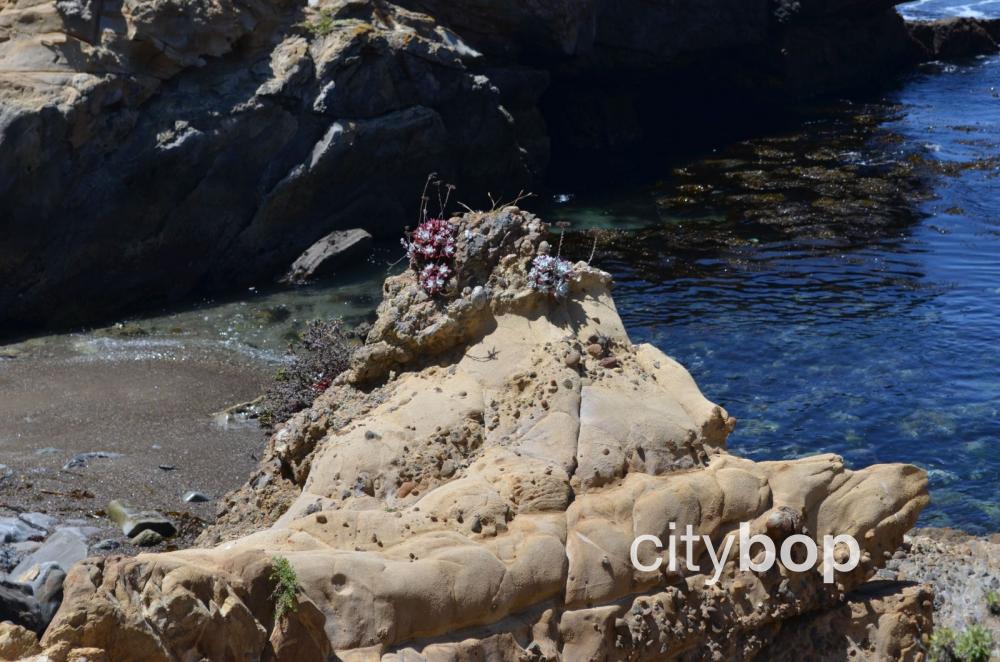
Vegetation clings to the rocky outcrops.
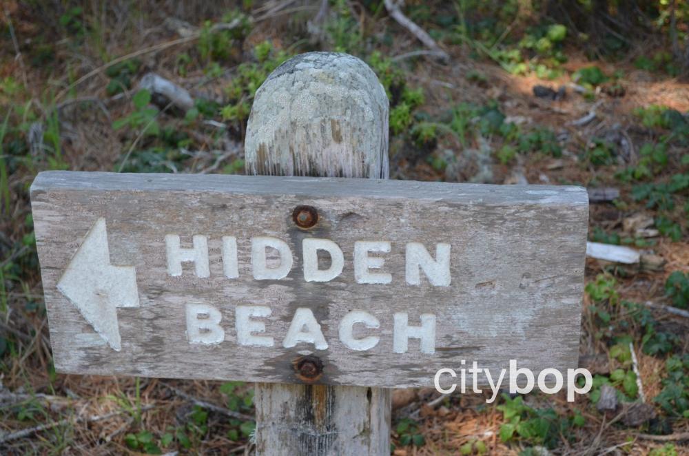
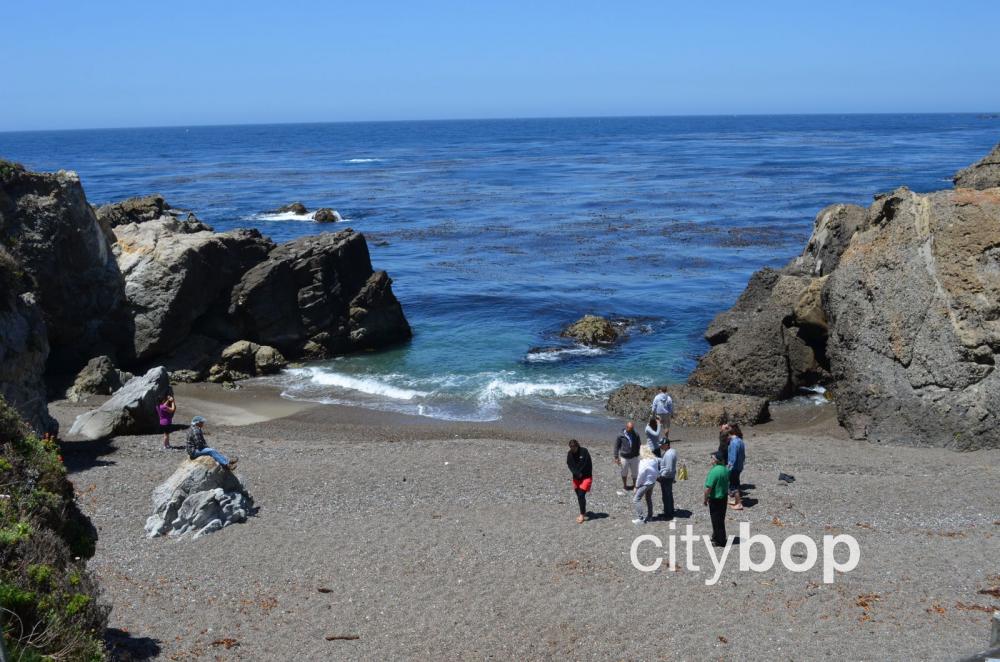
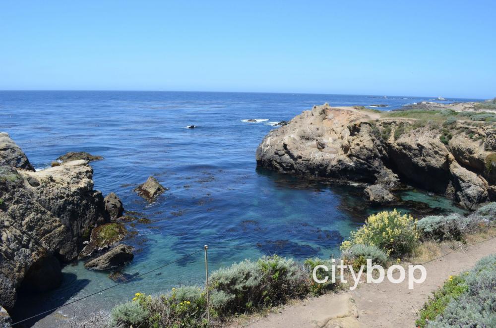
Hidden Beach is hemmed in by cliffs.
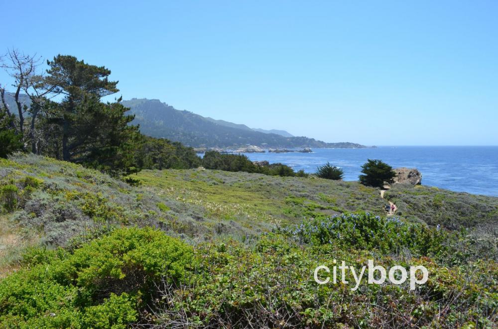
Sweeping views of the coastline along the South Coast Trail.
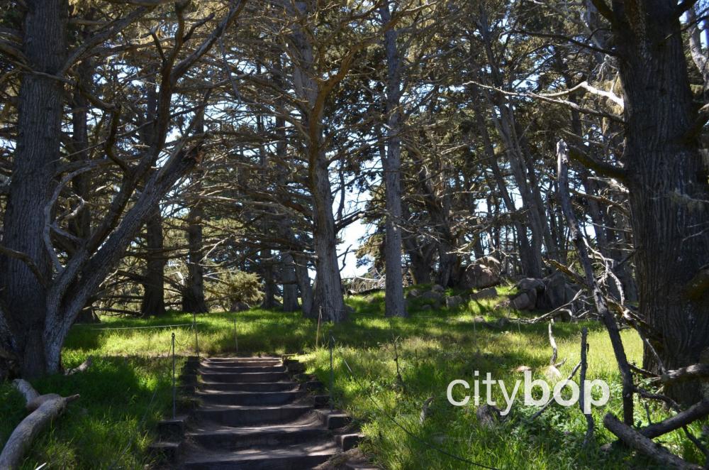
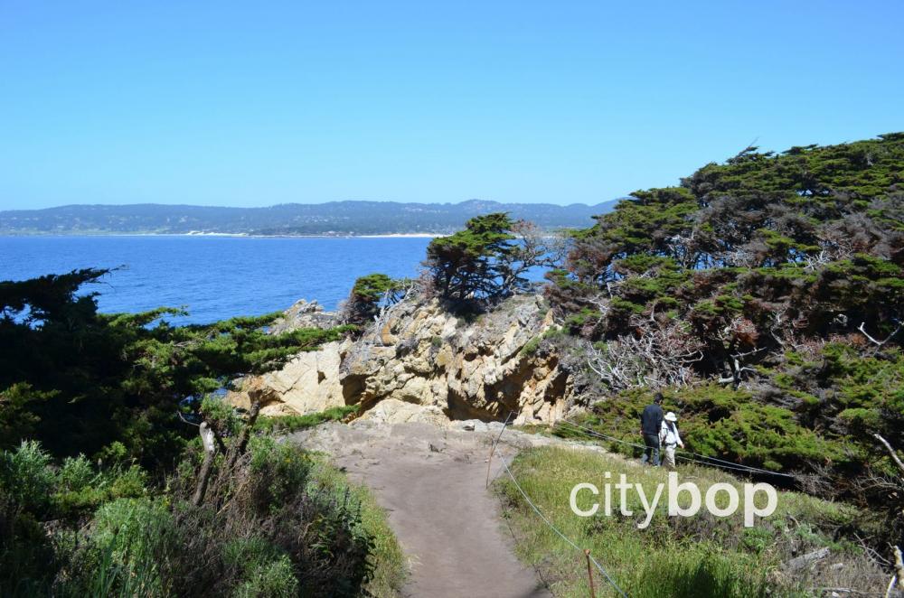
2. An enchanting walk along the Cypress Grove Trail (0.5 mile loop)
Access the Cypress Grove Trail on the dramatic Point Lobos headland. Peer down at sheer cliffs, and walk through only one of two naturally occurring Monterey Cypress stands in the world.

Look for the signs for the Cypress Grove Trail.
The trail traverses a rocky headland.
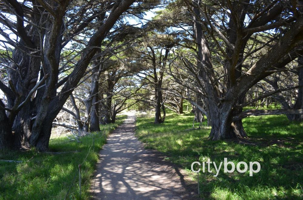
Walk under the shade of a grove of cyprus trees, a wonderful respite on a hot, summer's day.
Enjoy soaring southward views towards Headland Cove.

This is a place for quiet contemplation.
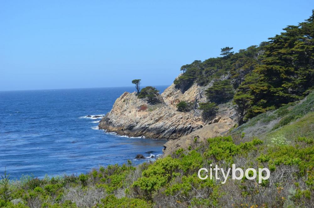
The South Point rocky outcrops at Pinnacle Cove, are visible at the tip of the trail.
Further along, see the North Pinnacle rocky outcrops at Pinnacle Cove.
The Cypress Grove Trail loops back to the start.
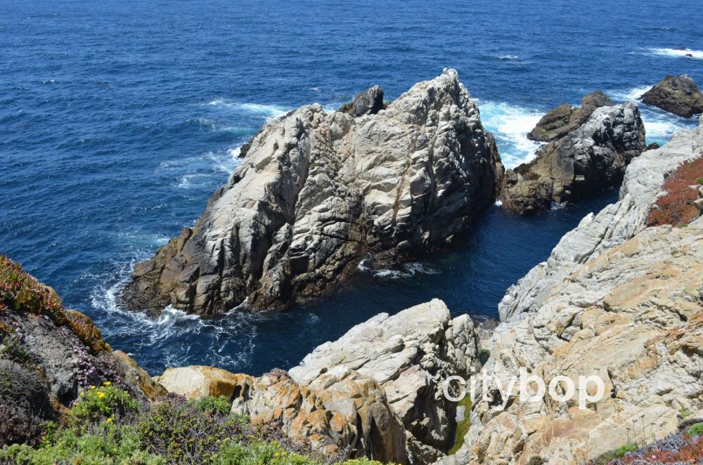
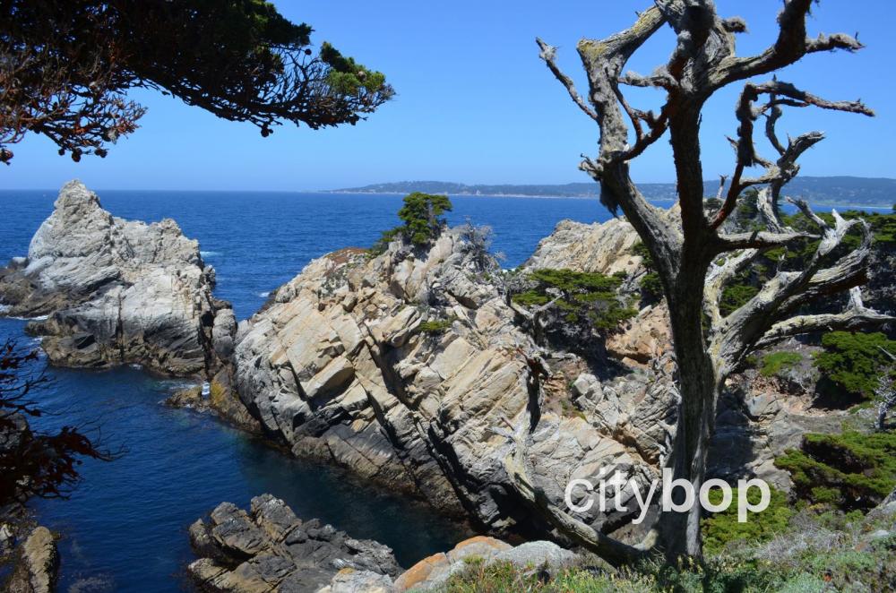
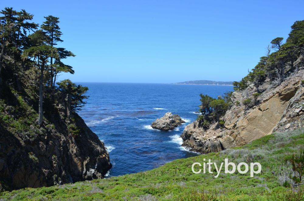
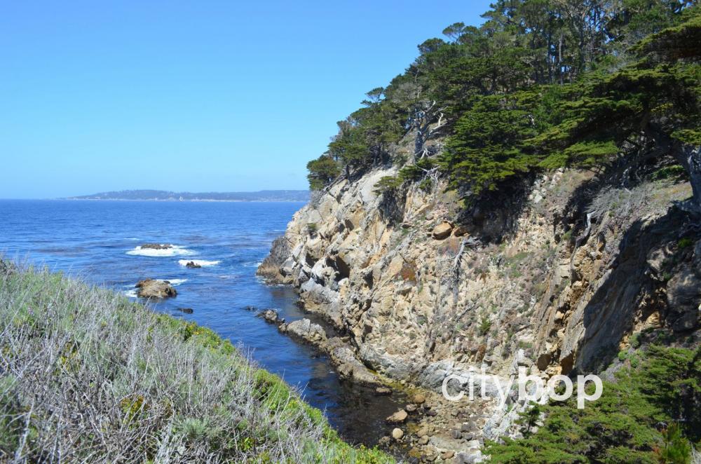
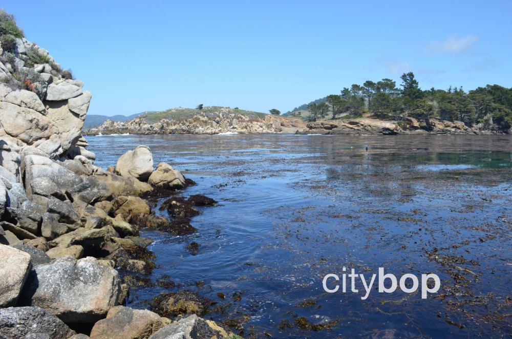
3. Dramatic clifftop views along the North Shore Trail (0.7 miles one way)
The North Shore Trail travels along the most northern section of Point Lobos, and is the most dramatic, clifftop walk at this reserve. It can also be accessed from the Cyprus Grove Trail.
You can take the North Shore Trail all the way out to Whalers Cove.
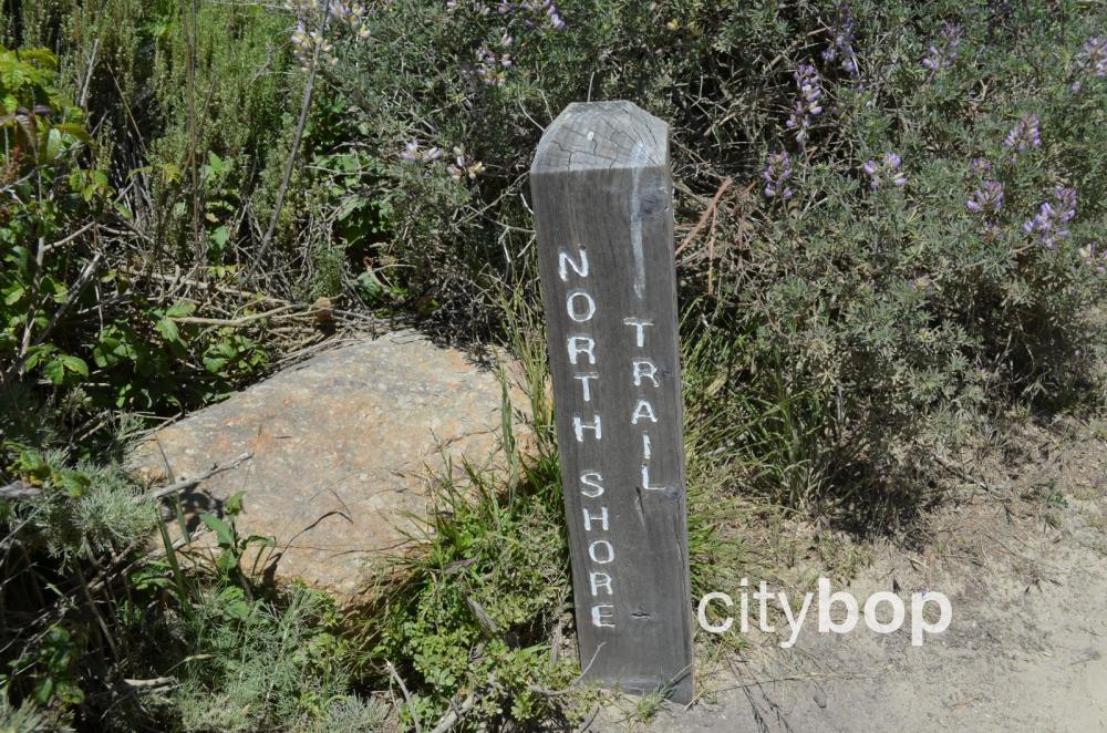
Look for signs to the North Shore Trail.
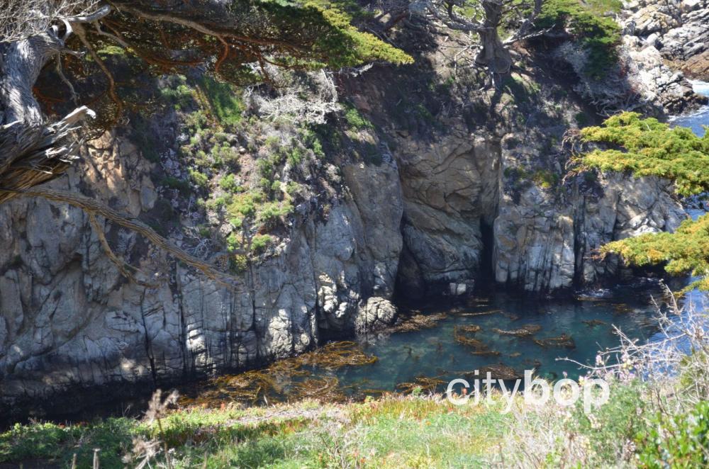
Peer into the depths of the stunning, turquoise waters in the secluded inlets.
The slopes are covered in wildflowers, with sheer drop-offs into the ocean.
There are northward views all the way to Carmel.
The dirt path traverses the edge of cliff-tops.

Trees cling to the edge of these cliffs, miraculously standing upright.
Dead trees and branches fall vertically down the slopes.
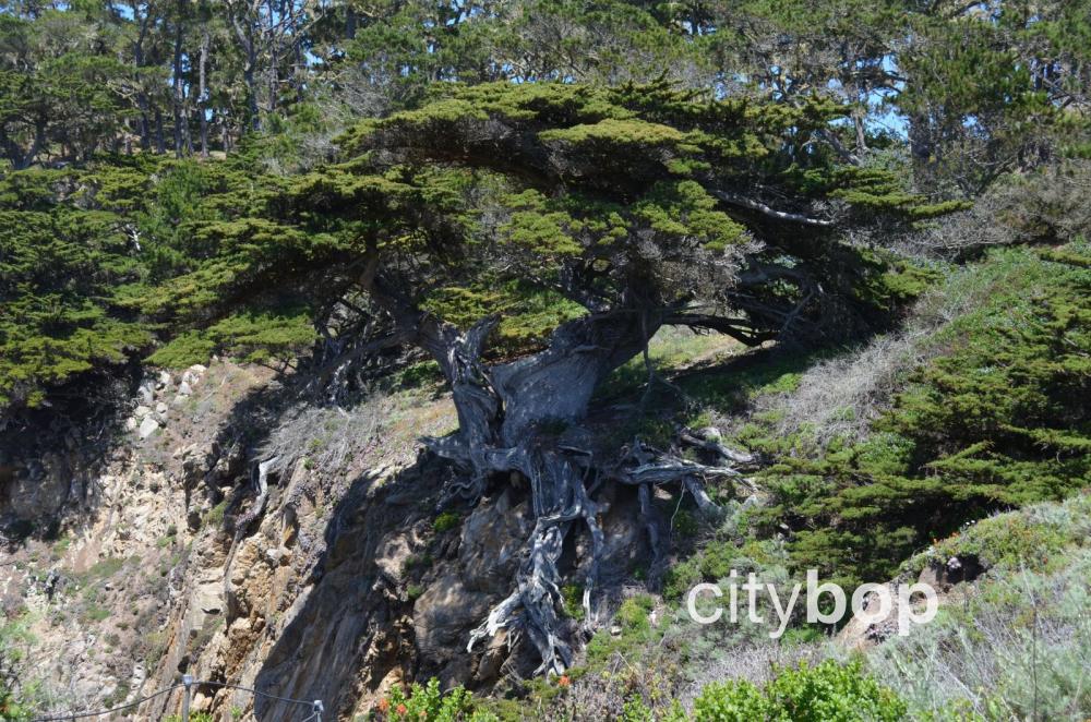
The intricate root system of the Monterey Pines is exposed by the elements.
The path veers away from the clifftop.

Southfacing views towards the Big Sur.
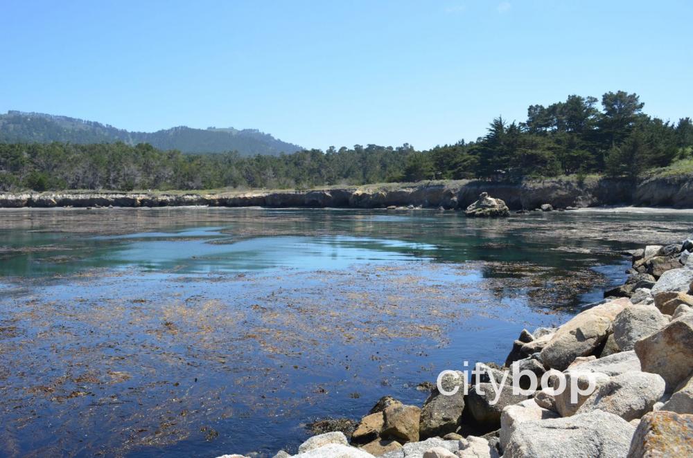
Savour the views across Bluefish Cove.
End at Whalers Cove.
4. Stop by the fascinating Whalers Cove Museum
Visit the small Whaler’s Museum at Point Lobos, to learn about the once flourishing whaling industry here from 1862 to 1880.
Look over at expansive Whaler’s Cove, and the parking lot where an abalone cannery used to stand.
Beautiful Whalers Cove.
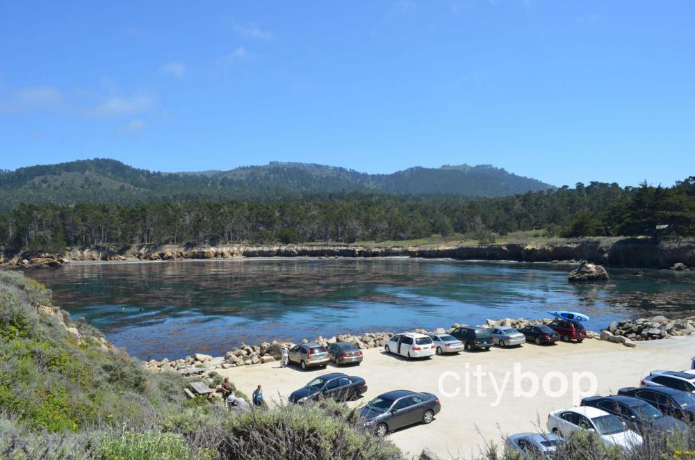
The parking lot at Whalers Cove.
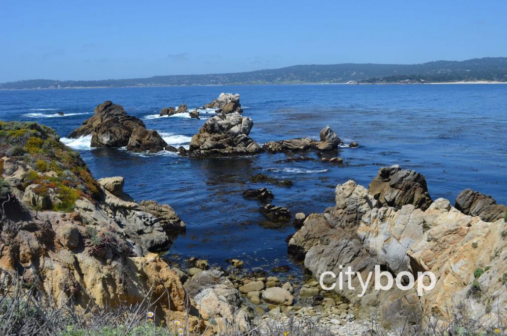
See more rocky outcrops at Whalers Cove, characteristic of Point Lobos.
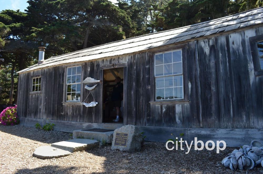
The Whalers Cabin Museum documents the fascinating history of whale hunting at Point Lobos.
5. You can't buy food at Point Lobos, so take advantage of one of the picnic sites.
Visitors are allowed to picnic at picnic tables at the coastal Bird Island Trail parking lot and Whalers Cove parking lot. There's also some tables at the parking lot at Piney Woods.
Know before you go


Review this attraction